
A FIELD GUIDE TO SUNLIGHT
A little closer
to the light.
Know where the sun will be.
See what a different hour, season or place can change.
2026-09-18 12:00 UTC
YOUR FREE SUN PLANNER
Start with your sunlight question.
YOUR PLACE. YOUR TIME.
Follow the sun, wherever you are.
One place to explore a day, compare seasons and keep your favorite moments.
Your sunlight study starts with a place.
LIGHT CHANGES HOW A PLACE FEELS
Find the hours
that make it yours.
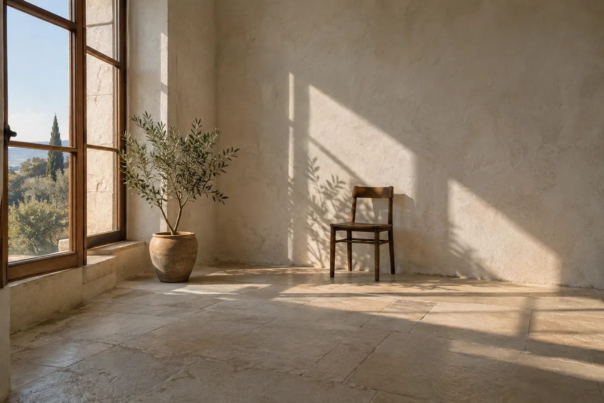
A bright window in winter. A garden with enough morning sun. A table that falls into shade before the guests arrive. Start with the path of the sun, then add the details of your place.
Study a window’s sunlight ↗Illustrative interior, created for SunCarta.
Plan for the light you will actually get.
Mark the exact spot, aim the receiving surface, add what blocks the sky, then move through the day.
- 01
Place the point
Pin a window, balcony, room, or patch of ground.
- 02
Aim the space
Open Model local obstacles, then enter Facing direction under Window & receiving surface (degrees clockwise from true north).
- 03
Add obstructions
Place nearby buildings, walls, and trees, then enter verified dimensions.
- 04
Watch the day
Scrub any date and time to see direct light and shadow move.
One sun model.
Many real decisions.
Explore every tool 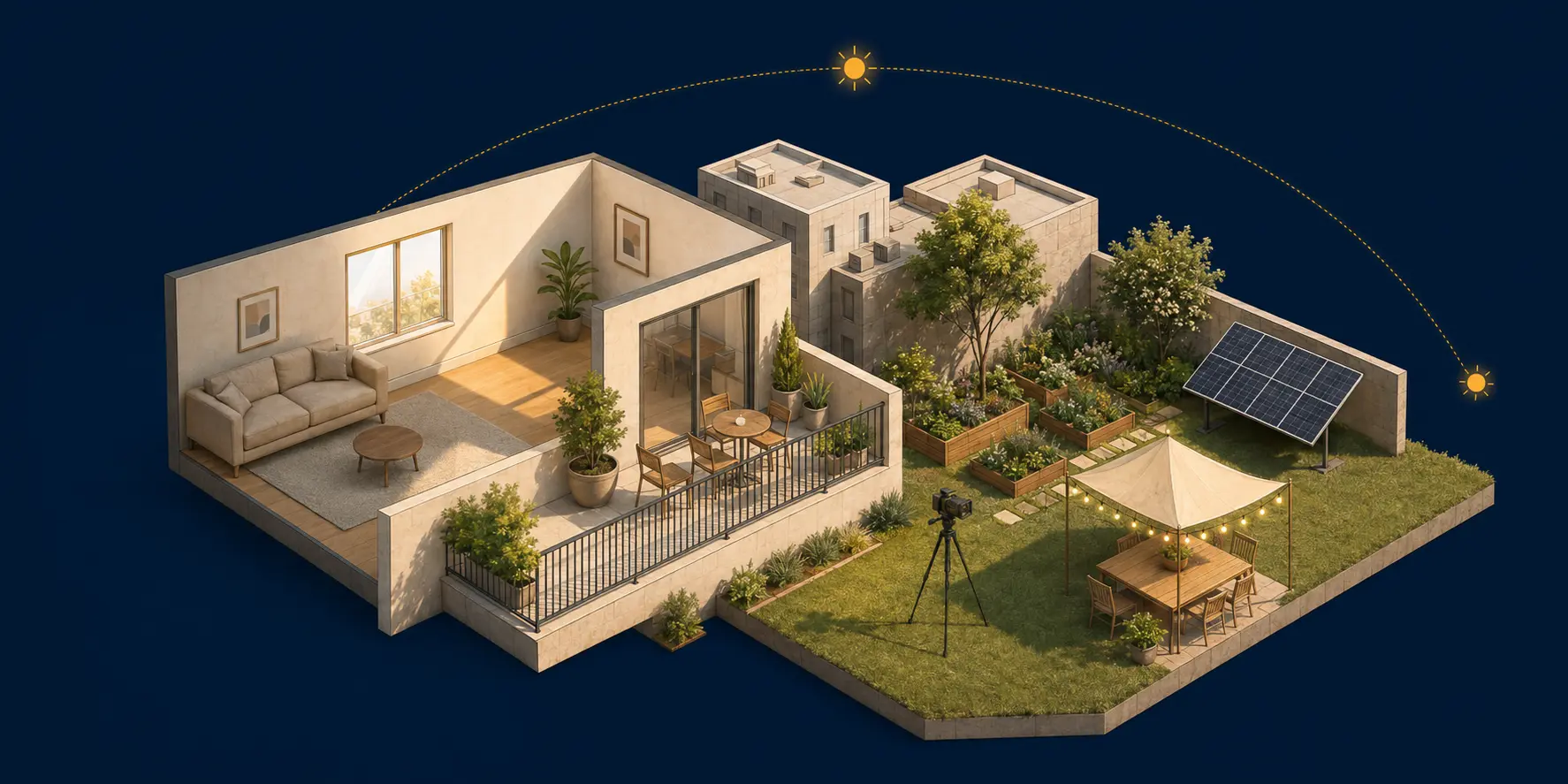
Useful estimates, without false precision.
SunCarta calculates the sun from your coordinates, date, and time, then projects the obstacles you can verify. Every result separates calculated solar geometry from estimated scene geometry.
- Solar geometry
- Position is calculated from latitude, longitude, date, local time, and time zone.
- Verified obstructions
- Buildings, walls, and trees use the positions and dimensions you add against the map context.
- Visible confidence
- Coverage, assumptions, and important limits stay beside the result.
- Local-first projects
- Save named places and moments in this browser, or export a scene file. Shared links include the coordinates and modeled obstacles.
Core references: Astronomy Engine 2.1.19 · NREL SPA validation reference · OpenStreetMap contributors · IANA time zones
Before you trust a shadow
How accurate is SunCarta?
Solar position is deterministic for the selected coordinate, date, time, and time zone. A shadow estimate is only as accurate as the obstacle height, width, and position supplied, so SunCarta keeps those assumptions visible.
Can it account for trees?
Yes. Add a tree position and enter its measured height, width, and rotation. Trees are modeled as opaque finite vertical screens, not detailed crowns. Foliage, pruning, weather, and seasonal leaf changes are not simulated.
Does it work anywhere in the world?
The solar calculation works for any valid latitude and longitude. Map and address coverage vary by data provider, and polar day or night is reported without inventing sunrise or sunset times.
Are my saved locations private?
The active setup and saved scenes stay in your browser; no account is required. Scene files and shared links include coordinates and modeled obstacles, so share them deliberately. Submitted place searches go to the configured geocoding service.
Can I compare two homes?
Compare shows two places or up to four dates side by side for open-horizon sun paths and daylight, using the same local clock reading or UTC reference. It does not compare building shade. To compare modeled homes, save a scene for each and review them using consistent dates and measured obstacle assumptions.